Coat of arms of CameroonMinistry of Arts
and Culture
Republic of Cameroon
My procedures
Home
Minister’s message
News
Press releases
Cultural calendar
Official speeches
Press review
Photo library
Video library
Calls for projects
Job vacancies
Public procurement
Newsletter
Frequently asked questions
Site map
Contact
Press area
Podcast “The Voice of Culture”
Legal notices
Privacy policy
Cookies and trackers
The Ministry
Missions and responsibilities
Organisation
Organisation chart
Minister’s Office (Cabinet)
Management team
General Secretariat
General Inspectorate
Central directorates
Regional Delegations
Institutions under supervision
Legislative texts
Regulatory texts
Sector strategy
Major projects
Budget and reports
Partners
Careers
Archives
Institutional communication
Quality and accessibility
Arts
Visual and plastic arts
Visual arts
Performing arts
Theatre
Dance
Music
Literature and books
Cinema and audiovisual
Photography
Fashion and design
Digital arts
Art crafts
Artists’ directory
Residencies
Prizes and awards
Arts education
Urban arts
Heritage
Tangible heritage
Intangible heritage
UNESCO sites
National museums
Listed monuments
National inventory
Palaces and chiefdoms
Archaeology
Linguistic heritage
Oral traditions
Traditional know-how
Restitution of cultural property
Fight against illicit trafficking
Listing and protection
Conservation and restoration
Heritage Days
Cultural landscapes
Industries
Music and recording
Cinema
Publishing and books
Digital arts
Fashion and creativity
Crafts
Cultural tourism
Funding for culture
Support funds
Incubators
Cultural entrepreneurship
Culture Observatory
Vocational training
Studies and reports
Sector statistics
Export and outreach
Intellectual property
Copyright
Legal framework
Copyright and neighbouring rights
Collective management societies
Register a work
Licences
Private copying
Fight against piracy
Model contracts
Social status of artists
Mediation
Disputes
Training
Fee scales
Register of works
Contact
Digital neighbouring rights
Public domain
Festivals
National calendar
Ngondo
Nguon
Écrans Noirs
Heritage Days
Music Day
Regional festivals
Fairs and exhibitions
Biennials
National competitions
Cultural days
Organise a festival
Event grants
Ticketing
Archives
Volunteering
Diaspora festivals
Regions
Adamawa
Centre
East
Far North
Littoral
North
North-West
West
South
South-West
Cultural map
Regional Delegations
Traditional chiefdoms
National languages
Cultural routes
Decentralised cooperation
Regional observatory
Cooperation
UNESCO
Francophonie (OIF)
African Union
Commonwealth
CEMAC
Bilateral cooperation
Cultural agreements
Professional organisations
Scholarships
Artist exchanges
Cultural years
Diaspora
Funded projects
Embassies
Technical partners
International restitution
International monitoring and calls
Services
Artist card
Show authorisation
Filming authorisation
Festival authorisation
Deposit of a work
Export of works of art
Listing of a property
Grant application
Association accreditation
File tracking
Forms
Fees
Opening hours and addresses
Reporting
Online help
My account
One-Stop Shop
Heritage

Cultural landscapes

Mandara Mountains, coast and littoral, Grassfields and sacred forests: the cultural landscapes of Cameroon, their recognition, protection and management with communities.

Updated on 6 November 20264 sub-pages
Landscapes described4
World-interest site citedDiy-Gid-Biy
Legal frameworkLaw 2013/003
Possible protectionListing
Landscapes

Landscapes shaped by history

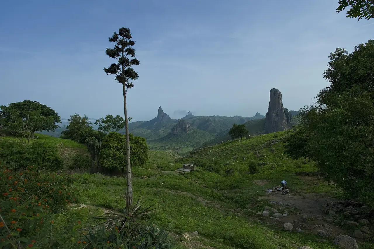
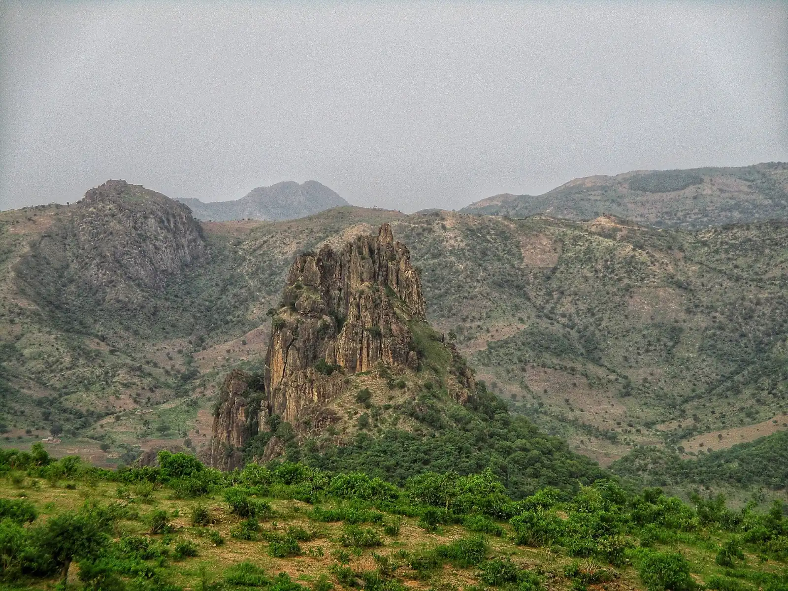
Rhumsiki rock spire amid the Kapsiki mountains

Law No. 2013/003 includes among immovable cultural property the heritage site or cultural landscape. It defines the heritage cultural landscape as a territory with remarkable landscape features, resulting from the interrelation of natural and human factors, which deserve to be preserved and, where appropriate, enhanced because of their historical, emblematic or identity value.

The Diy-Gid-Biy cultural landscape, in the Mandara Mountains, is cited among the World Heritage sites. But Cameroon has many others, from the cultivated terraces of the North to the mangroves of the coast, from the hills of the chiefdoms of the West to the sacred forests of the South and East. This page presents them, region by region, and explains how they are recognised, protected and visited.

  • Mandara Mountains, coast, Grassfields and sacred forests
  • Recognition grounded in communities
  • Possible listing with adapted easements
Discover the Mandara Mountains
Mandara Mountains

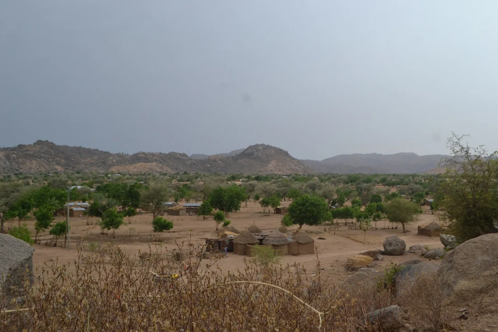
The Mandara Mountains and the Diy-Gid-Biy landscape

Landscape of the Mora massif in the Mandara Mountains

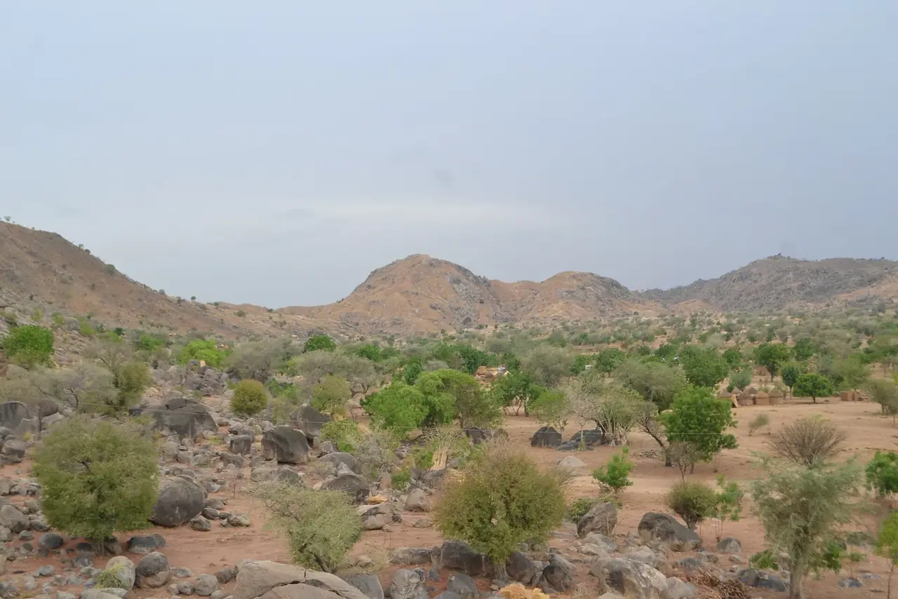
In the north of the country, in the Far North Region, the Mandara Mountains form a mountain landscape that has been inhabited and cultivated for centuries. The Diy-Gid-Biy cultural landscape is cited among the World Heritage sites, as detailed on the UNESCO sites page. It bears witness to a way of occupying the mountain that families have perfected from generation to generation.

A landscape built by hand

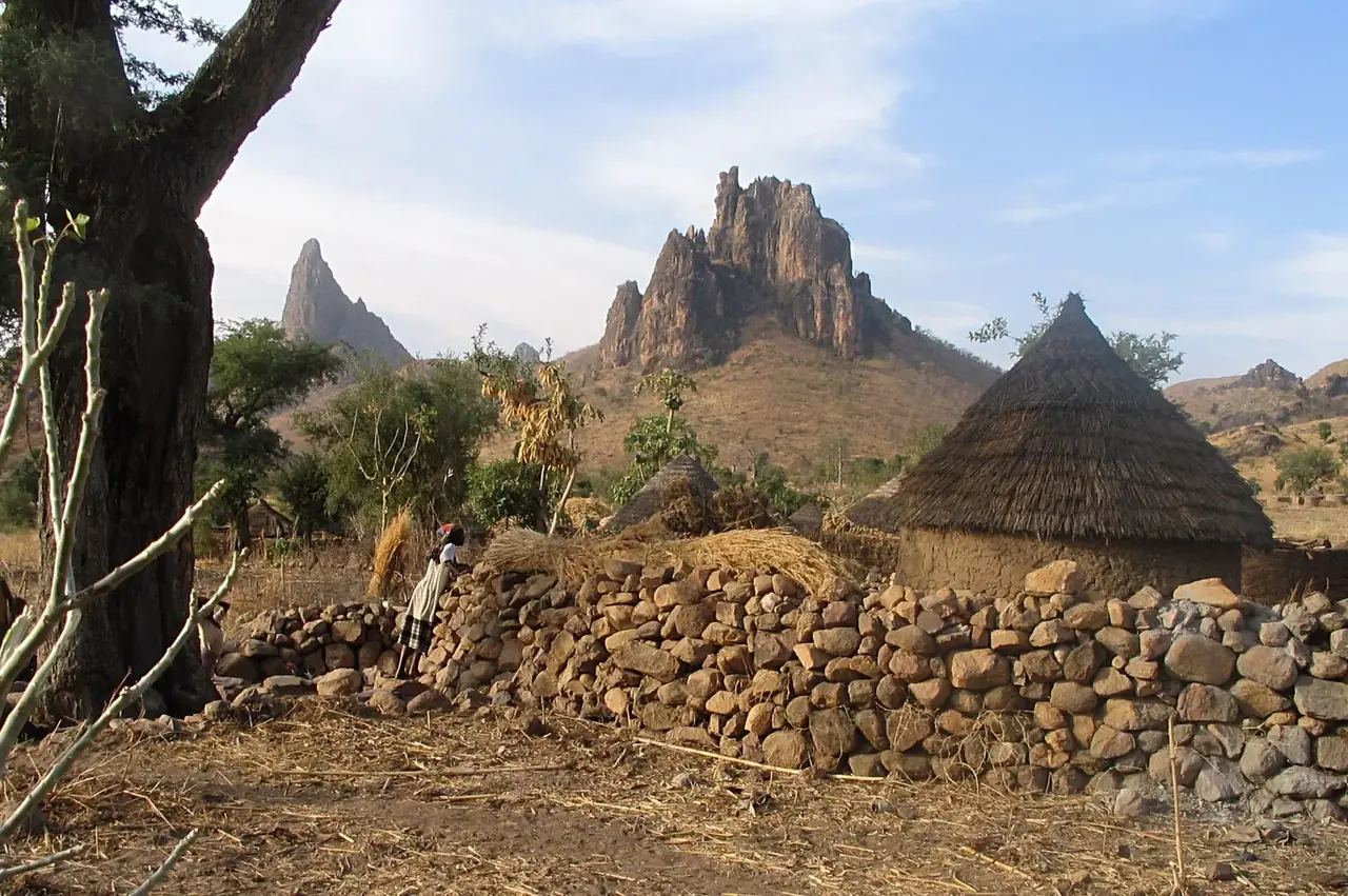
On the slopes, inhabitants have built terraces supported by dry-stone walls to hold back soil and water, grown millet, groundnuts and beans, and built compounds grouped around jar-shaped granaries. Between the huts, paths, small squares and protected trees link the families. Inselbergs and volcanic peaks, including the famous Rhumsiki site, overlook a landscape where the sacred and the agricultural sit side by side.
Living practices

  • Forges, basketry and pottery, inherited from mountain populations;
  • Weekly markets where plains and mountains meet;
  • Rites linked to sowing, rain and harvests;
  • Dances and music of flutes, horns and drums.

Visits must be made with a local guide, respecting the cultures and places of worship. The information on the Far North Region and the cultural itineraries help in planning a stay.

ℹ️
Good to know

The dry season, from November to April, is the most favourable time to walk the paths. Visits are arranged with the regional delegation and a village guide.

Coast and seaboard

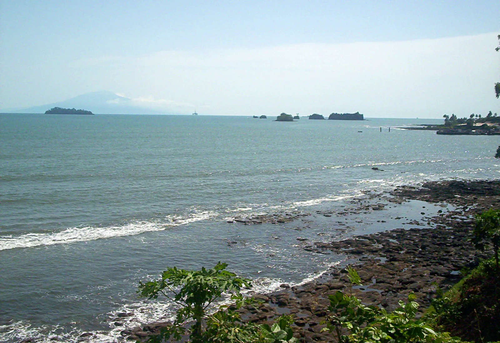
The coast and littoral, between mangroves and fishing villages

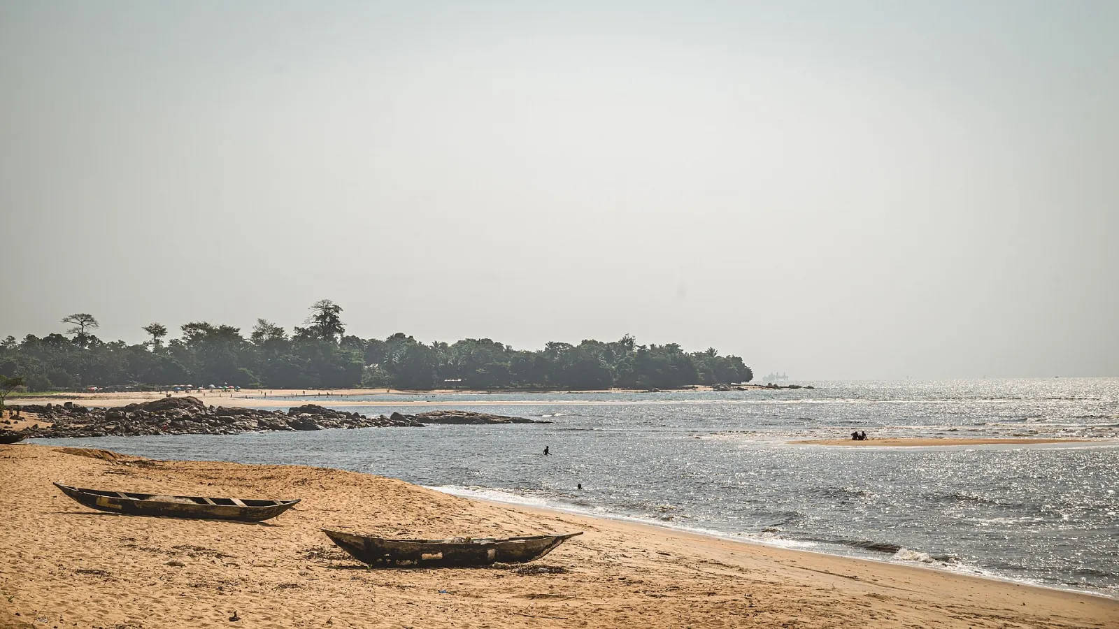
Dugout canoes on the sand of a Kribi beach on the Atlantic

On the Gulf of Guinea, the Cameroonian littoral stretches over several hundred kilometres of beaches, estuaries, mangroves and volcanic cliffs. The Littoral and South-West regions contain landscapes shaped by fishing, trade and exchanges with the ocean, since the first contacts with European navigators.

Water landscapes

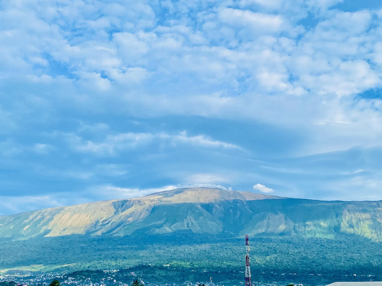
In the Wouri estuary and on the banks of the Sanaga, mangroves protect the coasts from erosion and shelter fish breeding; mangrove trees provide firewood and building materials. Fishing villages stretch along the beaches; fish is smoked there, canoes are repaired and the rhythms of the coast are sung. At the foot of Mount Cameroon, banana, palm and rubber plantations show another face of the littoral.

A port memory

  • The old districts of Douala, Limbe and Kribi, with their trading houses and warehouses;
  • Places of water-related rites, such as the Ngondo ceremonies among the Sawa peoples;
  • Archaeological sites and shipwrecks, studied on the archaeology page;
  • Fishing festivals and the dances of the coast.

The protection of these landscapes involves the Ministry, municipalities and environmental services. See also the Littoral Region and South-West Region sections.

ℹ️
Visiting tip

For mangroves, prefer canoes and local guides, and respect breeding areas; do not take wood or shellfish.

Grassfields

The Grassfields, high plateaux of the chiefdoms

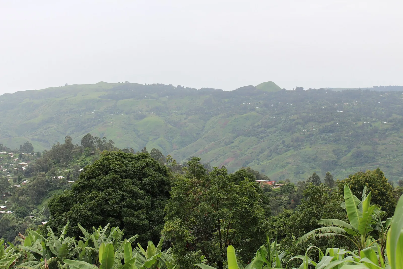
Green hills of the Boyo range near Bamenda

The Grassfields are the high plateaux of the West and North-West, where grassy hills, cultivated valleys and gallery forests alternate. This landscape is inseparable from the chiefdoms and kingdoms that organised it: each territory is structured around a palace, a market, dance squares and paths linking the neighbourhoods.

A landscape of chiefdoms

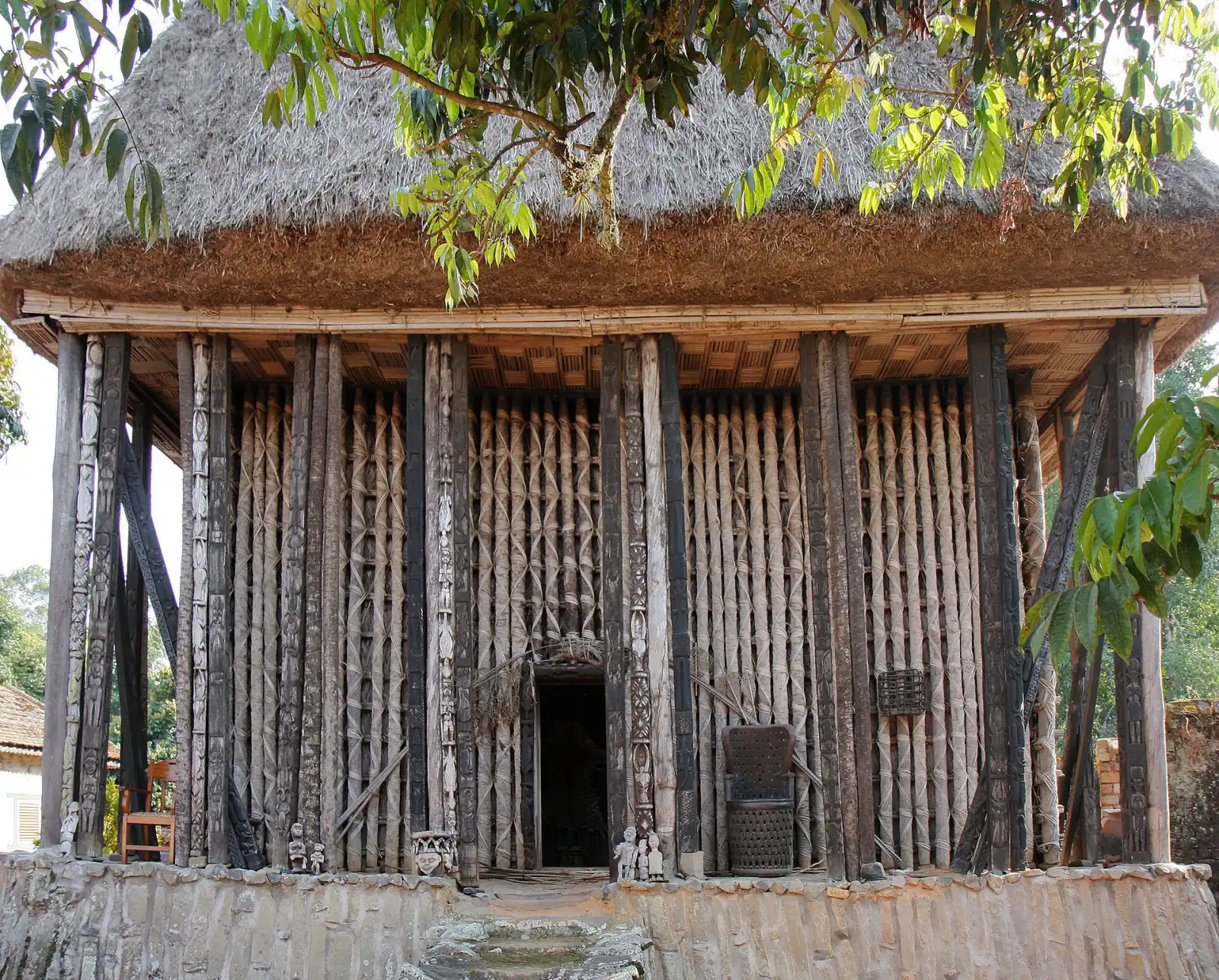
Compounds are surrounded by living hedges and bamboo; conical-roofed huts, storeyed huts and ceremonial monuments tell the history of the group. Secret societies, masks, carved thrones and beads recall the symbolic richness of the places. The palaces and chiefdoms are at the heart of this identity, from the Foumban palace to the Bamileke chiefdoms and the courts of the North-West.

Crops and skills

  • Cultivation of coffee, food crops and raffia in lowlands;
  • Wood carving, lost-wax bronze, basketry, weaving, beadwork;
  • Chiefdom festivals, such as the Bamum Nguon;
  • Court dances and secret societies.

The landscape is changing fast: urbanisation, housing developments, pressure on land. Chiefs, municipalities and the Ministry consult one another to protect sites, public squares and remarkable trees. The page on traditional chiefdoms, the West and North-West sections and the traditional skills complete the picture.

ℹ️
For chiefdoms

A chief who wishes to have a site protected can raise the matter with their municipality or the regional delegation; the listing request may come from the local authority or the owner.

Sacred forests

The sacred forests protected by tradition

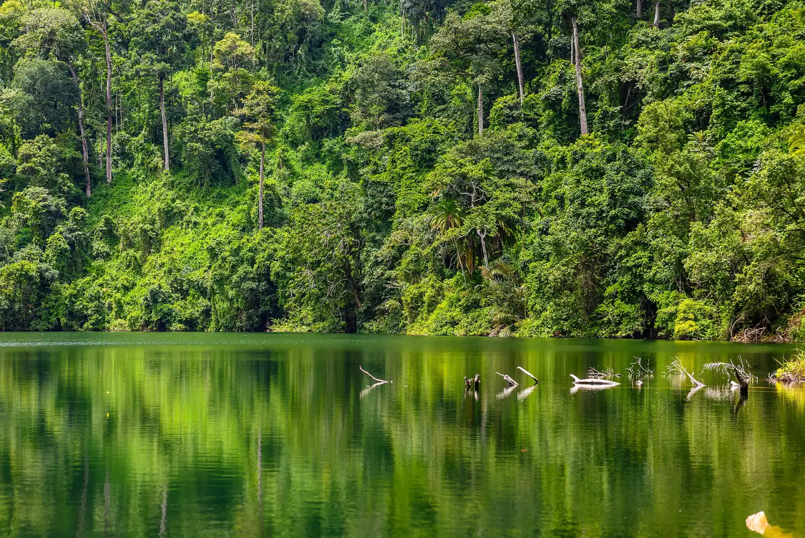
Lake Baleng framed by dense forest with green reflections on calm water

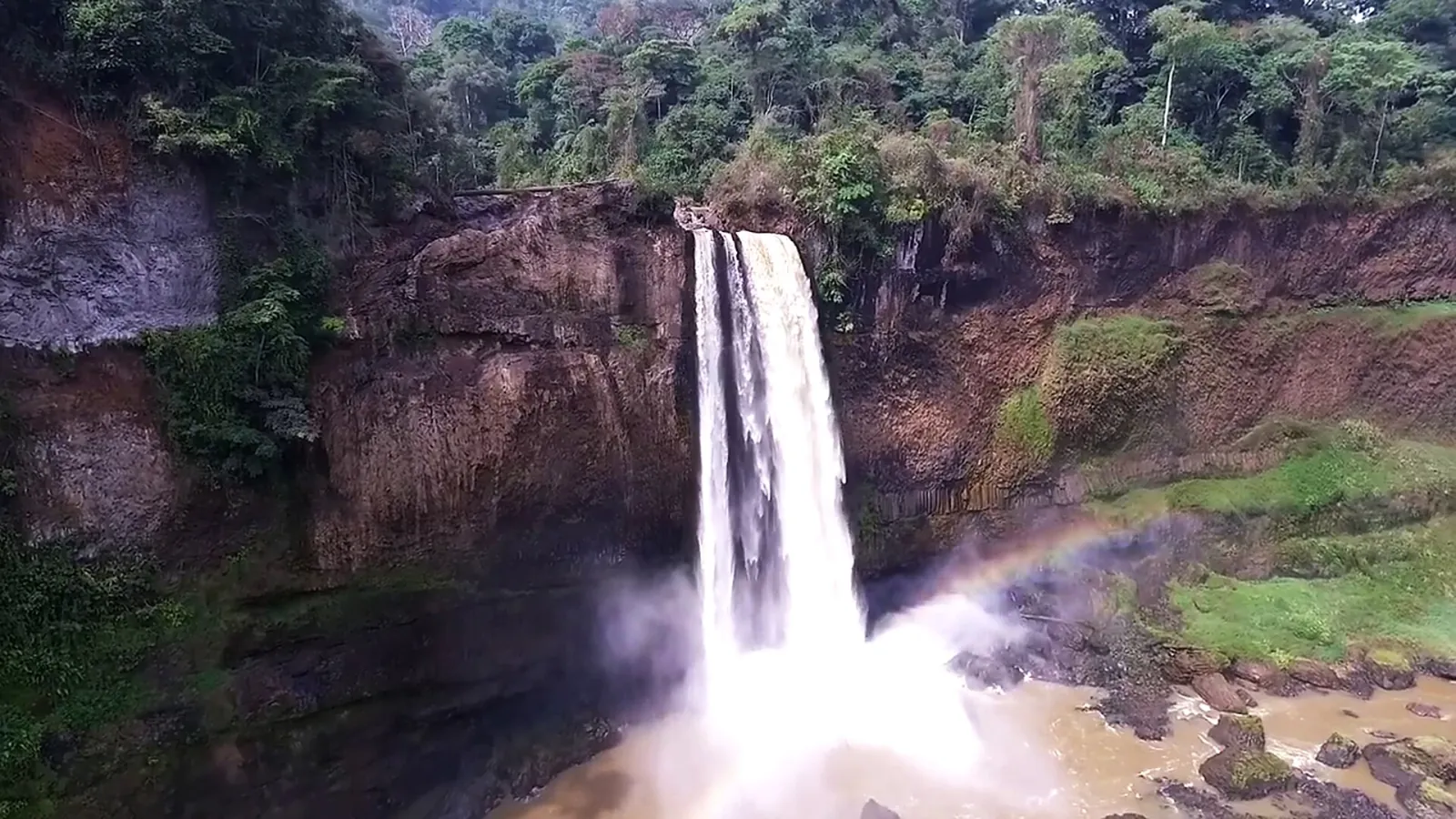
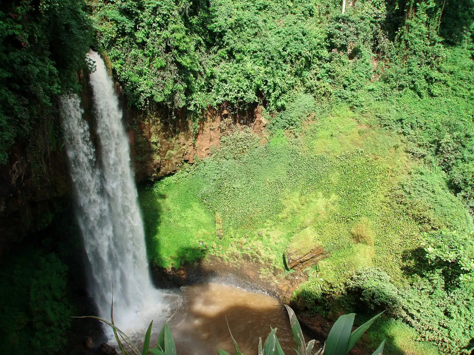
In many regions, woods and forests are held to be sacred: chiefs are buried there, initiation rites are held there, ancestors are consulted there. The taboos attached to them (no felling, no hunting, no farming, restricted access) have preserved exceptional pockets of vegetation, sometimes over several centuries.

Protection by custom

These forests are guarded by families, secret societies or traditional authorities. They shelter rare species, medicinal plants, springs and water points. Modern law recognises this reality: the law on cultural heritage includes heritage sites and landscapes, and provides for the regulation of clearing and development for listed immovable property.

Where to find them?

  • In the South and East: sacred woods of the forest peoples, initiation sites, places linked to epics and tales;
  • In the Centre: woods dedicated to ancestors near villages;
  • In the West and North-West: chiefdom forests, palace groves, crater lakes surrounded by vegetation;
  • In the large protected areas, where culture and nature intermingle, such as the Dja Faunal Reserve.

Preserving without desecrating

Visiting a sacred forest requires the custodians’ consent and respect for taboos. The associated knowledge (herbs, songs, stories) belongs to intangible heritage, and founding narratives to oral traditions. Sites threatened by trafficking or looting can be reported through the fight against illicit trafficking.

ℹ️
Respect for places

Never enter a sacred wood without the consent of its custodian; a village guide will tell you what may be visited.

Recognition

Recognising and listing a cultural landscape

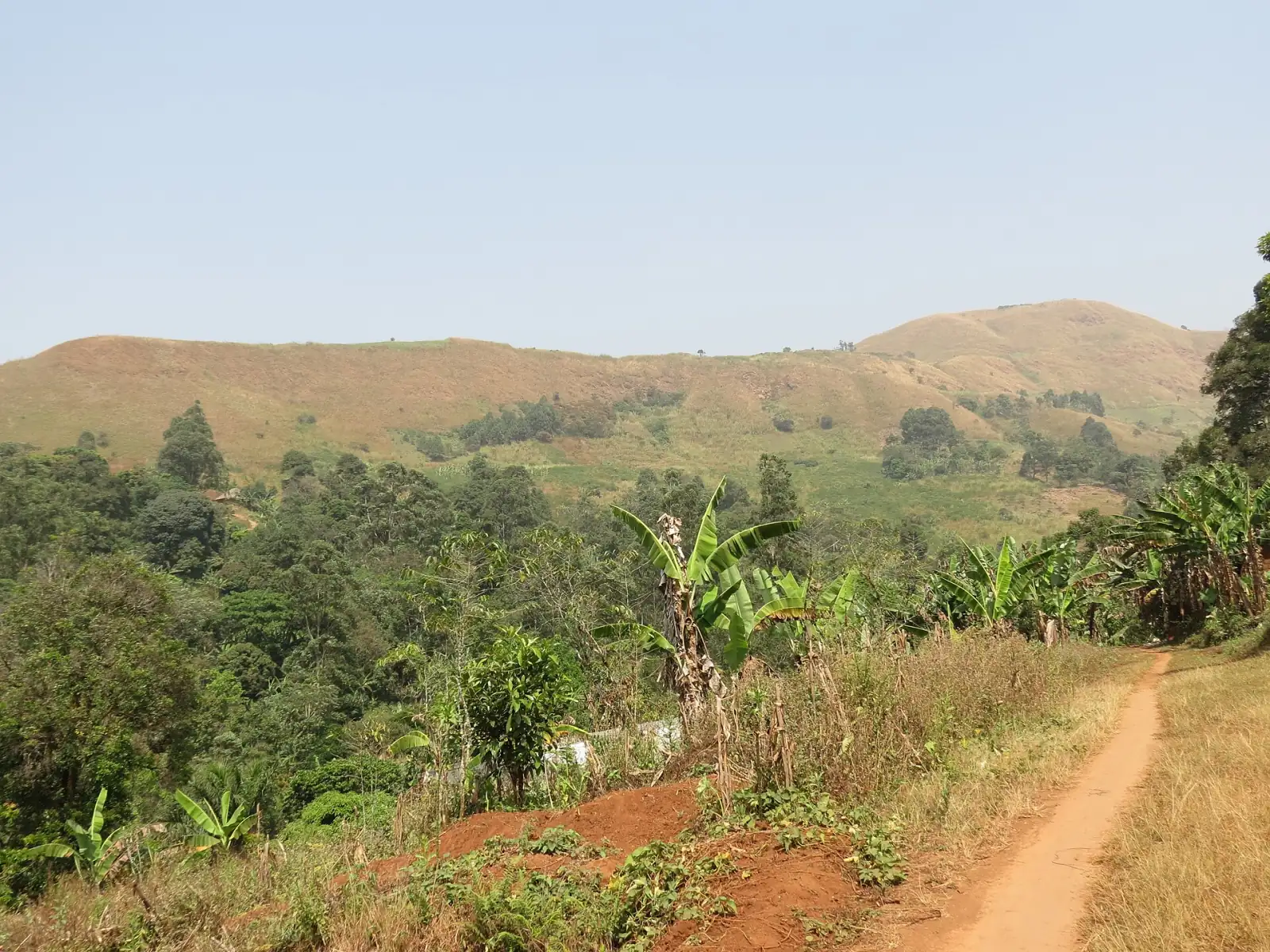
Grassy hills and a dirt path in the Belo landscape

A landscape is not listed like an object: it lives, changes, shelters families and activities. The law provides for this: the listing of an immovable property may include easements linked to the building style specific to a region or to the character of the vegetation or soil. These easements may be adapted by development and urban planning schemes, under the conditions set by regulation.

The path to recognition

It all begins with the recording of the site in the national inventory, followed by recognition of the property. The initiative for listing lies with the Minister, the heads of the executive bodies of decentralised local authorities and the owner. The full procedure is detailed on the listing and protection page.

What changes

In a listed landscape, development, new construction and clearing works are subject to authorisation; the installation of networks or industries likely to harm the appearance of the site is regulated. Inhabitants keep their traditional agricultural and ritual uses, in compliance with the management plan. For sites of world interest, cooperation with UNESCO provides an additional framework and support.

Management

Managing a landscape with its inhabitants

Kapsiki house in Rhumsiki in front of the rock pinnacles

The best protection for a landscape remains the life that inhabits it. A management plan involves communities, traditional authorities, elected officials, and the environment, agriculture and tourism services. It sets rules of use and specifies who does what.

Management tools

  • A local committee bringing together chiefs, farmers, young people, women and guides;
  • A map of sensitive areas: ritual sites, springs, terraces, mangroves, sacred woods;
  • Visiting regulations and training for guides;
  • Regular photographic monitoring, with year-on-year comparison;
  • A local fund fed by entrance fees and tourism services.

Balance and development

Cultural tourism can fund the upkeep of paths, stone walls and village squares, provided it is kept under control. Circuits and operators are invited to respect a charter. Communities whose heritage is listed receive assistance with awareness-raising, education, training and promotion. The cultural maps and the regional observatory provide data to inform decisions.

Step by step

Having a cultural landscape recognised

Describe the landscape

Gather maps, photographs, stories and place names with the elders; specify agricultural and ritual uses.

Mobilise the community

Bring together chiefs, inhabitants, young people and women to reach a clear agreement on the procedure and the boundaries of the site.

Record in the inventory

Ask the regional delegation to enter the landscape in the inventory; entry is free of charge.

Have the property recognised

The file is reviewed by the competent directorate, with a site visit and the opinion of the local authorities concerned.

Propose listing

The municipality, the owner or the Minister initiates the procedure; the instrument specifies the perimeter and easements.

Implement the management plan

A local committee monitors the rules, trains guides and passes alerts to the regional delegation.

To explore

Landscapes in the other sections

Those who live there

Inhabitants tell the story of their landscape

“
My father taught me to repair the terrace walls after each rainy season. If we stop, the mountain takes back its soil.
A farmer in the Mandara Mountains
Far North
“
The mangroves feed us. We decided to replant mangrove trees and to ban cutting in certain areas.
A fisherwoman of the Littoral
Wouri Estuary
“
Every hill of the chiefdom has a name and a story. Children learn them by walking the path with the elders.
A Bamileke notable
West Region
“
The sacred wood is not a backdrop: it is a place where peace is asked for. Visitors are welcome if they respect the rules.
A custodian of a sacred wood
South Region
To download

Resources on cultural landscapes

“The landscape is the visible memory of a territory: every terrace, every shore, every wood keeps the gesture of those who shaped it.”

A field geographer, Maroua
Glossary

The words of cultural landscapes

Heritage cultural landscape

Territory with remarkable landscape features, born of the interrelation of natural and human factors, worthy of preservation.

Diy-Gid-Biy

Cultural landscape of the Mandara Mountains, cited among the World Heritage sites.

Grassfields

High plateaux of the West and North-West, territory of chiefdoms and kingdoms.

Mangrove

Coastal mangrove forest growing in the brackish water of estuaries and protecting shorelines.

Sacred forest

Wood or forest protected by tradition, a place of rites, initiation or burial.

Inselberg

Isolated, hard and steep relief rising above a plain; typical of certain landforms in the North.

Terrace

Level area built on a slope and supported by a stone wall for cultivation.

Easement

Constraint imposed by the listing instrument to preserve the appearance of a site or landscape.

Conservation plan

Document setting the rules for protecting a site, approved by the Minister in charge of heritage.

Management plan

Document drawn up with inhabitants to organise the use, visiting and upkeep of a landscape.

Heritage site

Place, territory or area constituting a cultural property or containing a group of cultural properties.

To act

Protecting a landscape: a guide

Request a listing

A municipality, an owner or a community may initiate the listing procedure for a site or landscape.

List a property

Report a threat

Land clearing, quarrying, unauthorised housing development, looting: alert the competent directorate, anonymously if you wish.

Report

Contribute to the map

Propose a site for the cultural map with photographs, place names and testimonies from elders.

Contribute

Travel responsibly

Choose a labelled circuit and a local guide to visit without damaging the places.

See the circuits
On the site

Continue in the regions

Resources

Useful links for landscapes

Stakeholders

Who watches over landscapes?

Key facts

Cultural landscapes at a glance

LandscapeMain regionCharacteristic featuresPractices and challenges
Mandara Mountains (Diy-Gid-Biy)Far NorthDry-stone terraces, inselbergs, jar-shaped granariesMountain farming, forge work, erosion, tourism
Littoral and mangrovesLittoral, South-WestEstuaries, beaches, mangrove trees, fishing villagesFishing, water festivals, urbanisation of the waterfront
Mount Cameroon and plantationsSouth-WestVolcanic slopes, plantations, Bakweri villagesFarming, hiking, mountain rites
Grassfields of the WestWestHills, conical-roofed huts, living hedgesChiefdoms, beadwork, bronze, pressure on land
Grassfields of the North-WestNorth-WestPlateaux, palaces, crater lakesCourt festivals, sculpture, livestock farming
Sacred forests of the South and EastSouth, East, CentreInitiation woods, springs, large treesRites, medicinal plants, customary protection
Savannas of Adamawa and the NorthAdamawa, NorthLamidates, pastures, old villagesLivestock farming, earth architecture, end-of-season festivals
Journey

From landscape to lasting protection

OriginsA shaped territory

Over the centuries, families shape slopes, shores and forests, inscribe their rites there and build their villages.

RecognitionThe view of specialists

Researchers, officers and communities describe the remarkable features of the landscape and have it entered in the inventory.

ListingAn official act

The landscape is listed, with a perimeter, adapted easements and, if necessary, a conservation plan approved by the Minister.

PromotionPaths, guides and site museums

Marked routes, visitor centres and trained guides make the landscape known without damaging it.

ManagementCommunities and the State

A local committee monitors the rules and reports to the regional delegation; aid supports upkeep.

TransmissionSchools and young people

Children learn about the landscape through outings, maps and stories collected from the elders.

Questions

Your questions about cultural landscapes

What is a heritage cultural landscape?

It is a territory with remarkable landscape features, resulting from the interrelation of natural and human factors, which deserve to be preserved and enhanced for their historical, emblematic or identity value. The law of 18 April 2013 includes it among immovable cultural property.

Are landscapes protected?

It depends on their status. A recognised and listed landscape benefits from easements, mandatory authorisations for development and a conservation plan. A site of world interest, such as the Diy-Gid-Biy cultural landscape, additionally benefits from the framework of cooperation with UNESCO.

Can a cultural landscape be visited?

Yes, while respecting the uses of the inhabitants. It is advisable to use a local guide, to seek information from the regional delegation, to avoid places of worship without permission, to take nothing away and to follow the paths. Group visits should be arranged in advance.

Who manages a cultural landscape?

The communities that live there, with their traditional authorities, local authorities, State services and the Ministry. A local committee drafts and monitors the management plan, while the competent directorate ensures compliance with the listing rules and provides technical support.

Who can request the protection of a landscape?

The Minister in charge of heritage, the heads of the executive bodies of decentralised local authorities and the owner of the property may take the initiative. A community or an association relies on its municipality or on the regional delegation to put the file together.

Can a sacred forest be listed?

Yes, if it has previously been recognised as a heritage site or landscape. Listing does not erase customary protection: it reinforces it with rules on clearing and development, while leaving the custodians in control of ritual uses.

Do inhabitants lose their rights of use?

No. Listing regulates construction and alterations, but does not prohibit the agricultural and ritual uses that give the landscape its value. If the easements cause direct, material, certain and present damage, compensation may be claimed within six months.

How can I report damage or propose a site?

Use the reporting service for a threat (land clearing, quarrying, looting) and the contact form on this page to propose a site. You can also write to contact@minac.gov.cm or call +237 6 51 70 58 41, Monday to Friday from 8 am to 4 pm.

Contact

Write to the Ministry: Cultural landscapes

Specify the property or site concerned.

Competent directorate

Contact the Directorate of Heritage

Address

Directorate of Cultural Heritage
Ministry of Arts and Culture
Quartier du Lac – Ministerial Zone
P.O. Box 1053 Yaoundé, Centre Region, Cameroon

Reach us

+237 6 51 70 58 41

contact@minac.gov.cm

Opening hours

Monday to Friday, 8 am to 4 pm

A landscape to make known?

Discover Cameroon’s sites of world interest and their protection rules.

See the UNESCO sites
WhatsApp