Archaeological survey permit
This procedure issues authorisation to survey an area to locate archaeological sites without excavating, through surface surveys, light test pits and field inquiries.
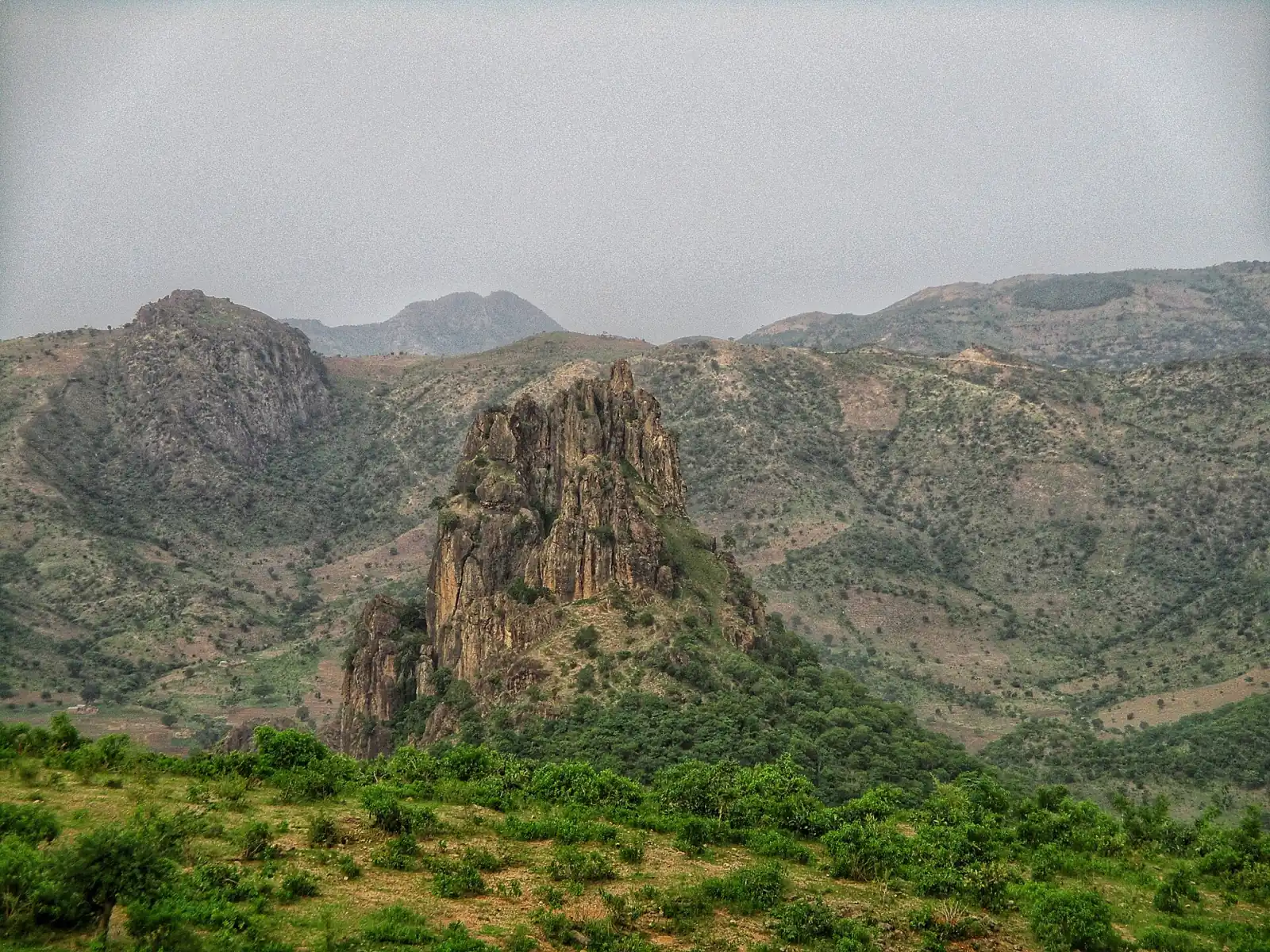
Before excavating, you must know where to look. Archaeological survey consists of walking over a territory to locate remains visible on the surface, map sites, collect testimonies and sometimes carry out small test pits. It requires authorisation from the Ministry to ensure that surveys are conducted by qualified people and that the information gathered is shared. You obtain an authorisation covering a defined area and period, together with a framework for depositing your survey records. It is often a first step before an excavation application.
- Fee payable
- 100,000 FCFA
- Turnaround
- Processing takes 25 to 35 working days from receipt of a complete file
- Validity
- Valid for 6 months for the stated mission, renewable once on justification
- Documents to provide
- 8
Who is this procedure for?
The application is open to researchers, doctoral students, university institutions, consultancies and research organisations. Development companies may also request a survey before launching a project. Foreign teams partner with a Cameroonian counterpart. Student groups must be supervised by an academic researcher who signs the application and is responsible for the conduct of the fieldwork.
Processing time. Processing takes 25 to 35 working days from receipt of a complete file. An area close to a listed site, or the use of a drone, may require checks and extend the time.
Before you begin
- The survey lead must demonstrate training in archaeology, geography or the history of heritage, and proven field practice.
- The target area must be clearly delimited on a map, with the list of communes, villages and localities covered by the mission.
- No excavation or significant sampling may be carried out; only limited and documented surface collection is permitted.
- Local traditional and administrative authorities must be informed before the team arrives, and the team gives them a copy of the authorisation.
Documents to provide
- Survey authorisation application form completed online
- Project presentation note: objectives, area, methods, planned duration
- Map of the survey area with coordinates and boundaries
- Curriculum vitae of team members and letter from the parent institution
- List of planned survey equipment: GPS, drone, detector, cameras
- Information letter addressed to local administrative and traditional authorities
- Certificate of insurance and of support for the team during the mission
- Proof of payment of the processing fee
Step by step
- Submission of the applicationThe file is submitted with the map of the area and the work programme. It is registered and checked for completeness.
- Examination of the areaThe Listing and Protection Service checks that the area does not overlap a listed site or an ongoing authorised excavation.
- Opinion of the scientific councilAn opinion is issued on the interest of the project, the method and the qualifications of the team. Restrictions on the area may be imposed.
- Issue of the authorisationThe authorisation is notified with its requirements: area, duration, permitted equipment, obligation to inform communities.
- Submission of survey recordsAt the end of the mission, a report with the coordinates, photographs and inventory of the sites located is submitted to the Ministry.
Special cases
The use of a drone requires authorisation from the aeronautical authorities and the agreement of communities. The images are added to the survey file.
A heritage preservation association may conduct a survey with the support of a reference archaeologist. They validate the method and sign the report.
The developer funds the survey entrusted to a qualified consultancy. The results are used to define any preventive excavations needed before the works begin.
Frequently asked questions
May I use a metal detector?
Only if the authorisation expressly provides for it. Its use is strictly controlled because it can facilitate looting. The data must be submitted with the coordinates of the objects located.
Will the sites located be made public?
No. Their location is confidential to prevent clandestine excavations. The information is kept by the Ministry and shared with authorised researchers.
Must I pay local guides?
It is recommended to involve guides and residents of the area and to pay them fairly. Their knowledge of the terrain is valuable and their involvement helps the project gain acceptance.
What should be done if the team discovers a site of exceptional importance?
It suspends surveys in the area, notifies the Ministry immediately and does not disclose the discovery. A protective procedure may be initiated without delay.
Useful templates and documents
Reference texts
- Law No. 2013/003 of 18 April 2013 governing cultural heritage in CameroonLaw
- Texts in force relating to archaeological researchText
- User guide: preparing a survey missionGuide
Services that process the file
- Directorate of Cultural Heritage
- Listing and Protection Service
- Regional Delegations
Conseil. Présentez vos résultats aux chefs et notables de la zone avant de quitter les lieux : c’est une condition de confiance pour revenir et pour obtenir ensuite une autorisation de fouilles.
Submit the file
Fee payable: 100,000 FCFA
Have an account? Sign in to pre-fill the form and attach your documents.